Log in
All resources
Create a design
24 Free Images of 17th Century Maps Of Ireland
miniature speed atlas (1627) pieter van den keere
pieter van den keere
gerard valck
maps by pieter schenk (i)
atlantis magni tomus secundus (biblioteca comunale di trento)
historical national coats of arms of ireland
cartography
engraving
irlanda
chalcography
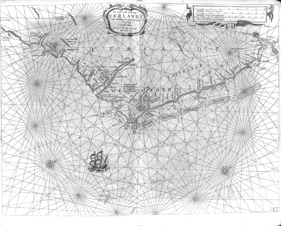
old maps of ireland
gerard valck
old maps of ireland
gerard valck
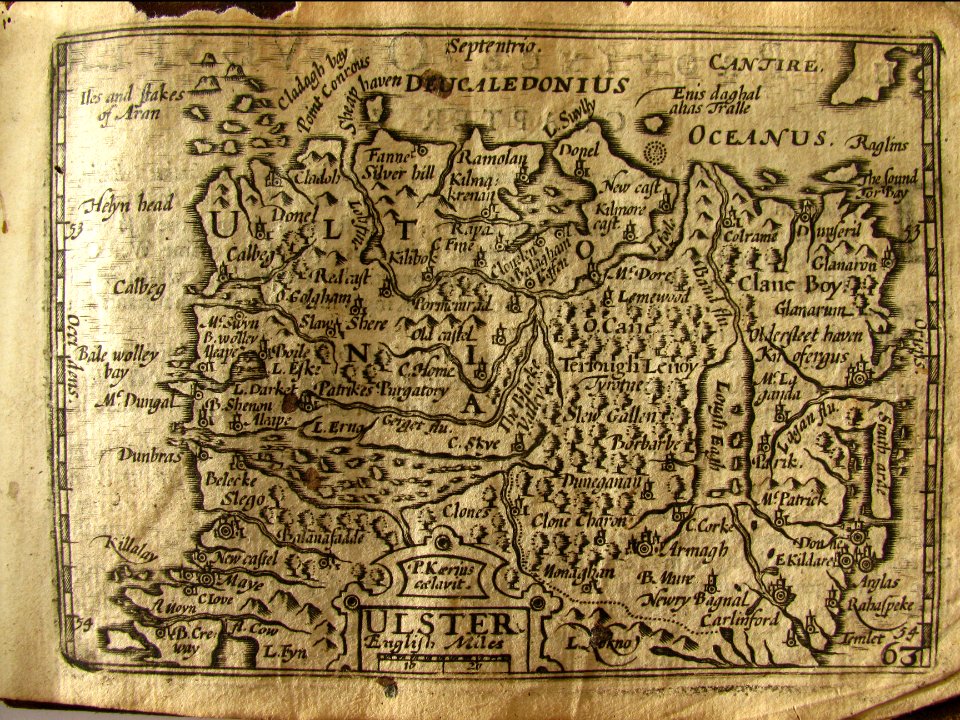
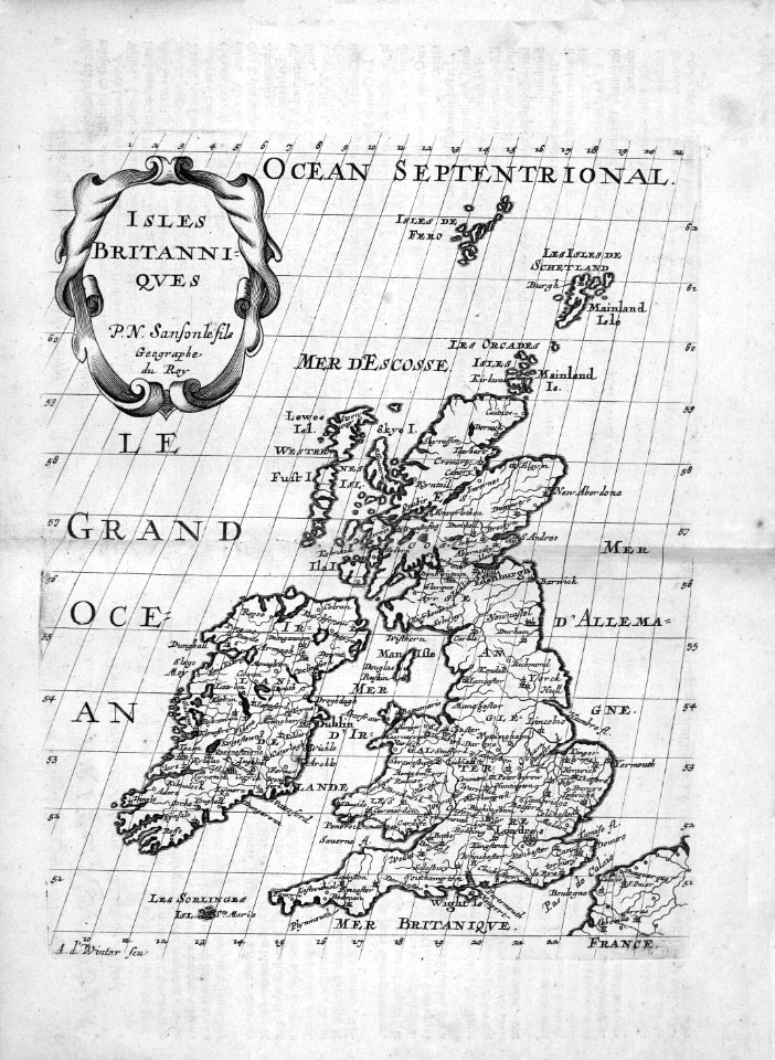
17th-century maps of ireland
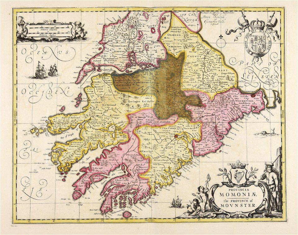
maps of munster, ireland
miniature speed atlas (1627) pieter van den keere
maps of ireland by john speed
miniature speed atlas (1627) pieter van den keere
maps of ireland by john speed
17th-century maps of ireland
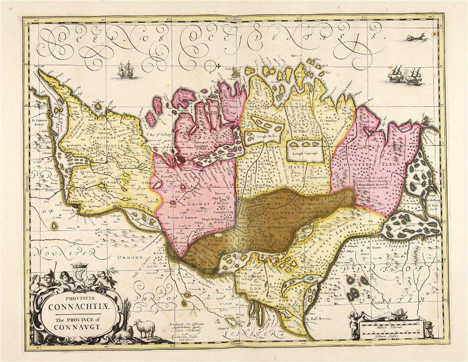
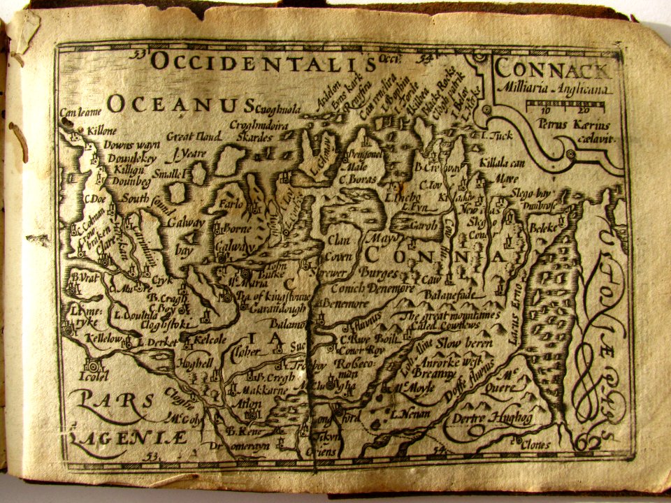
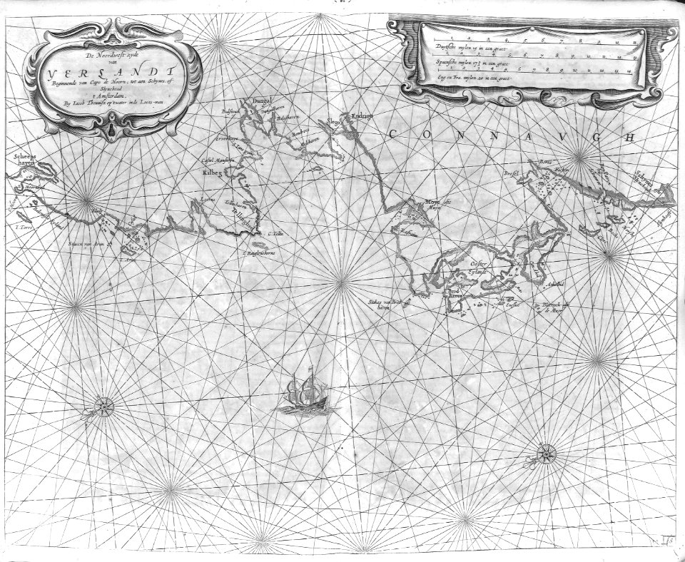
old maps of connaught
miniature speed atlas (1627) pieter van den keere
old county maps of cheshire
miniature speed atlas (1627) pieter van den keere
old county maps of herefordshire
miniature speed atlas (1627) pieter van den keere
old county maps of lancashire
miniature speed atlas (1627) pieter van den keere
county maps of england by john speed
miniature speed atlas (1627) pieter van den keere
old county maps of lincolnshire
miniature speed atlas (1627) pieter van den keere
old maps of the orkney islands
17th-century maps of the british isles
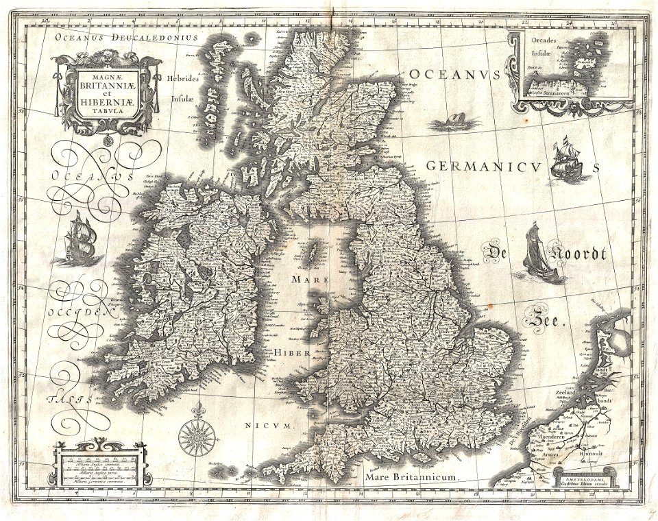
maps by willem and johannes blaeu
miniature speed atlas (1627) pieter van den keere
1620s maps of wales
miniature speed atlas (1627) pieter van den keere
old county maps of gloucestershire
miniature speed atlas (1627) pieter van den keere
old county maps of huntingdonshire
miniature speed atlas (1627) pieter van den keere
old county maps of leicestershire
miniature speed atlas (1627) pieter van den keere
old maps of the hebrides
description de l'universe
1680s maps of england
cartography
maps
cartography
maps
cartography
maps
cartography
maps
old maps of scotland from the norman b. leventhal map center
old maps of ireland from the norman b. leventhal map center
1 - 24 of 24
/ 1